Cykelkarta Moseldalen
Cykelvägen längs Mosel är en oförglömlig upplevelse som ger cyklister möjlighet att njuta av den naturliga och kulturella skönheten i denna region. Cykelvägen är mestadels platt och asfalterad, vilket gör den idealisk för cyklister i alla åldrar. Rutten är indelad i 10 etapper som kan köras i valfri ordning.
Längs vägen kan cyklisterna njuta av hisnande vyer över vingårdar, medeltida byar och slott längs floden.
En av de mest populära sevärdheterna längs rutten är bergsstaden Cochem, som erbjuder panoramautsikt över Moseldalen. En annan populär sevärdhet är Eltz Castle, ett medeltida slott som ligger i en lummig skog.
Cyklister kan också njuta av den rika kulturen i regionen. I många byar och städer kan du besöka vingårdar, museer och andra kulturella attraktioner.
Cykelväg
Nedan hittar du en detaljerad karta med de mest populära rutterna i denna vackra dal, de intressanta platserna är följande:
- Thionville: From france to Germany (30,9 kilometres)
- Perl: Have a great view of Luxembourg (25,3 kilometres)
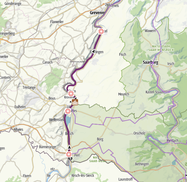
- Nittel: On the way to the oldest city of Germany (25,8 kilometres)
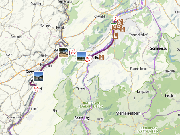
- Trier: From the ”Porta Nigra” to the ”Villa Rustica”: Roman feeling at the Moselle (24,9 kilometres)
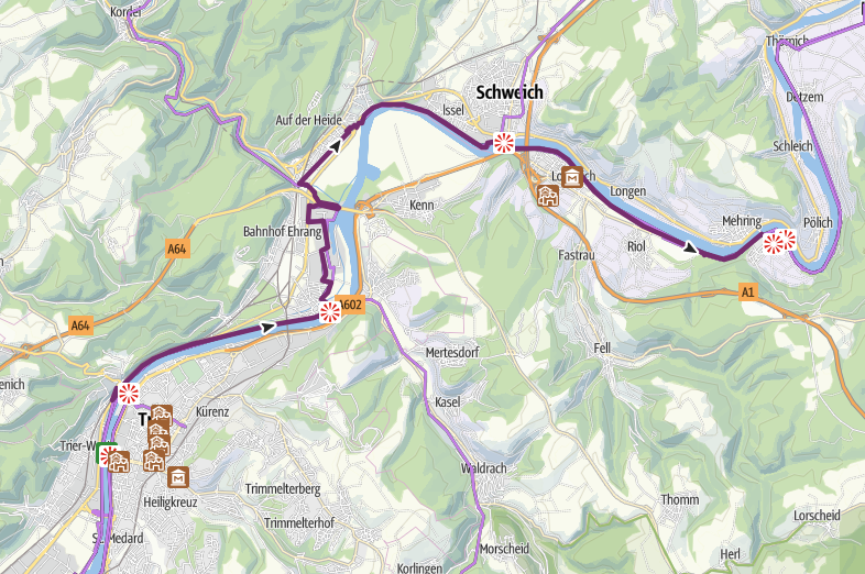
- Mehring: Roman wine ship and Roman wine press (25,6 kilometres)
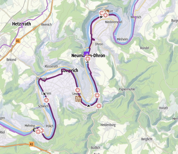
- Piesport: From the ”Loreley” of the Moselle to the ”town of the doctor” (18,3 kilometres)
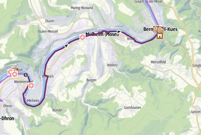
- Bernkastel-Kues: From the ”town of the doctor” to the ”town of the art noveau” (22,2 kilometres)
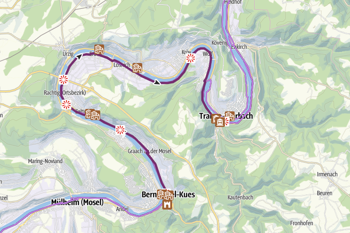
- Traben-Trarbach: Passing the town of the ”black cat” (24,3 kilometres)
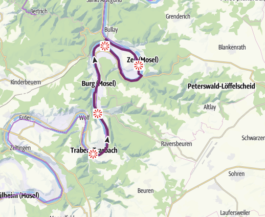
- Bullay: Passing the steepest vineyard of Europe (31,2 kilometres)
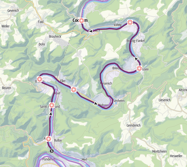
- Cochem: Paradies of castles (27,5 kilometres)
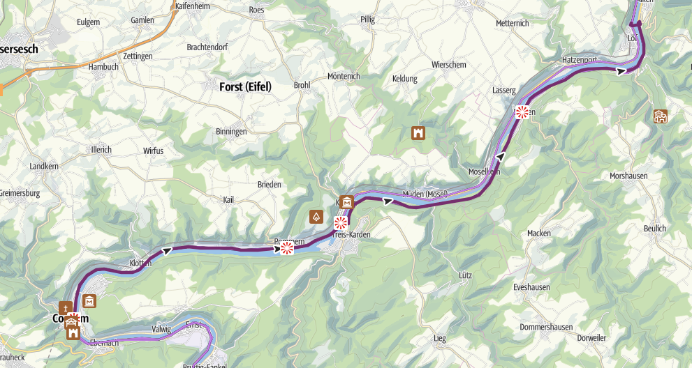
- Löf: On the way to the ”Deutsche Eck” (this is the point where the Moselle river flows into the Rhine river) (25,9 kilometres)
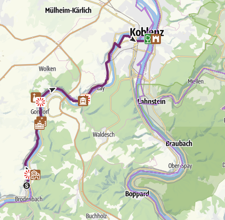
- Koblenz: The tours end at the ”Deutsche Eck”
